

ASF MapReady 3.2
MapReady is a remote sensing tool kit for processing SAR and optical data
Program info
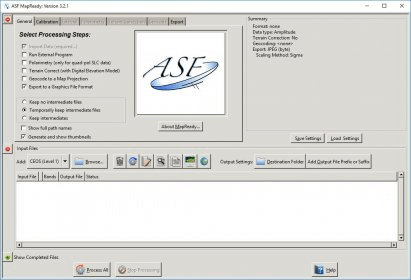
The ASF MapReady Remote Sensing Tool Kit is a package of software that can accept level 1 detected SAR data, single look complex SAR data, and optical data from ASF and some other facilities. It can terrain correct, geocode, apply polarimetric decompositions to multi-pol SAR data, and save to several common imagery formats including GeoTIFF. The package also includes an image viewer, metadata viewer, a projection coordinate converter, and a variety of command line tools.
The MapReady Remote Sensing Tool Kit accepts level 1 detected SAR data, single look complex SAR data, and optical data from ASF and some other facilities. It can terrain correct, geocode, apply polarimetric decompositions to multi-pol SAR data, and save to several common imagery formats including GeoTIFF. Other software included in the package are an image viewer, metadata viewer, a projection coordinate converter, and a variety of command line tools.
Details
Extensions

No information available
The data will be available later.


Comments